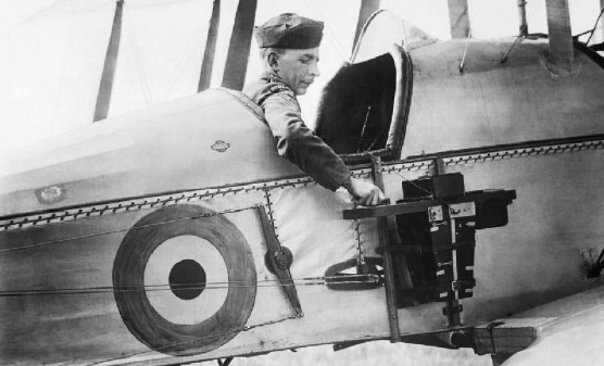
A History of Aerial Topographical Surveying – From Aircraft Photography to Drone Mapping
Aerial surveying has revolutionized how we map our world. What began with photographs taken from airplanes now involves advanced drones capturing high-resolution 3D data. This transformation has significantly improved how…
Read more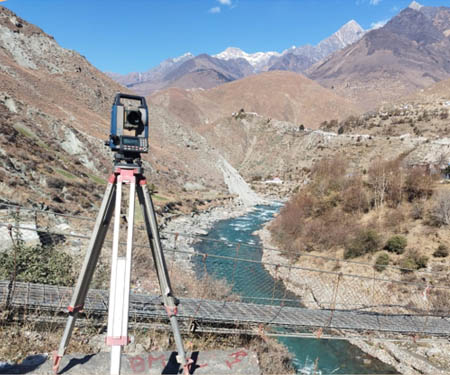


You must be logged in to post a comment.